Combine climbing 4 mountains while you know Mexico
in 15 days
1 Nevado de Toluca , 2 Malinche,
3 Iztaccihuatl, 4 Pico de Orizaba
- YOU PICK YOUR DATES -
- TRIPS ALL YEAR -
Itinerary
1 Day
Arrival in MEX City (2250m)
transfer at the Hotel free day
Overnight Hotel in Mexico City
2 Day
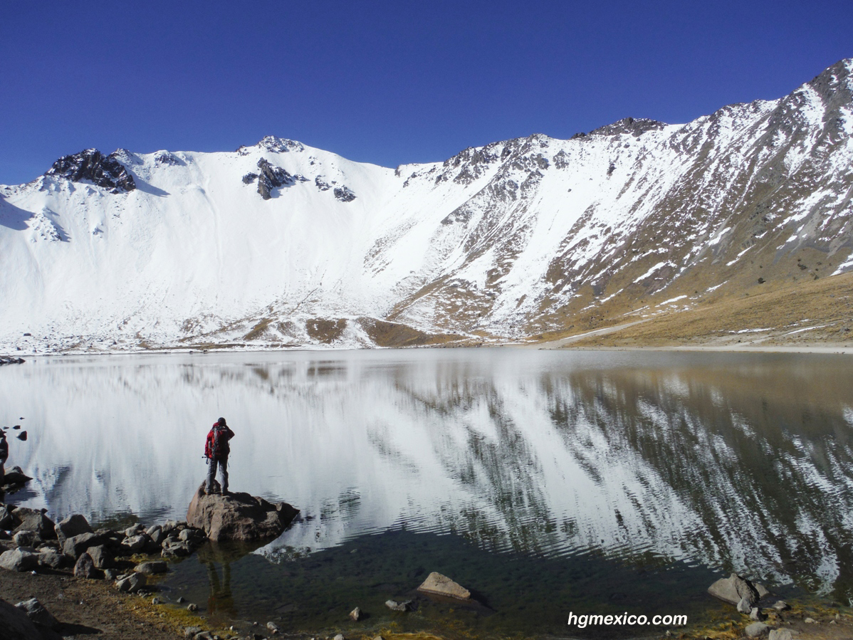
Transfer to Nevado de Toluca 3600m.
Overnight Camp
3 Day
Climb Nevado de Toluca (4600m) and go back at Mexico City
Overnight Hotel in Mexico City
4 Day
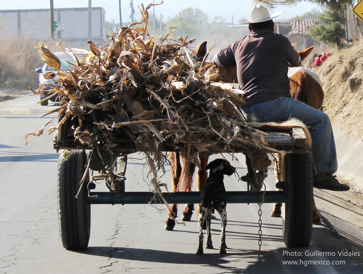
Visit Xochimilco (Mexican Venice in typical boat)Transfer to Maliche Hut (3680m) Hut Malinche
Overnight Malinche camp
5 Day
Ascender Malinche 4400m
Overnight camp
Overnight Malinche
6 Day
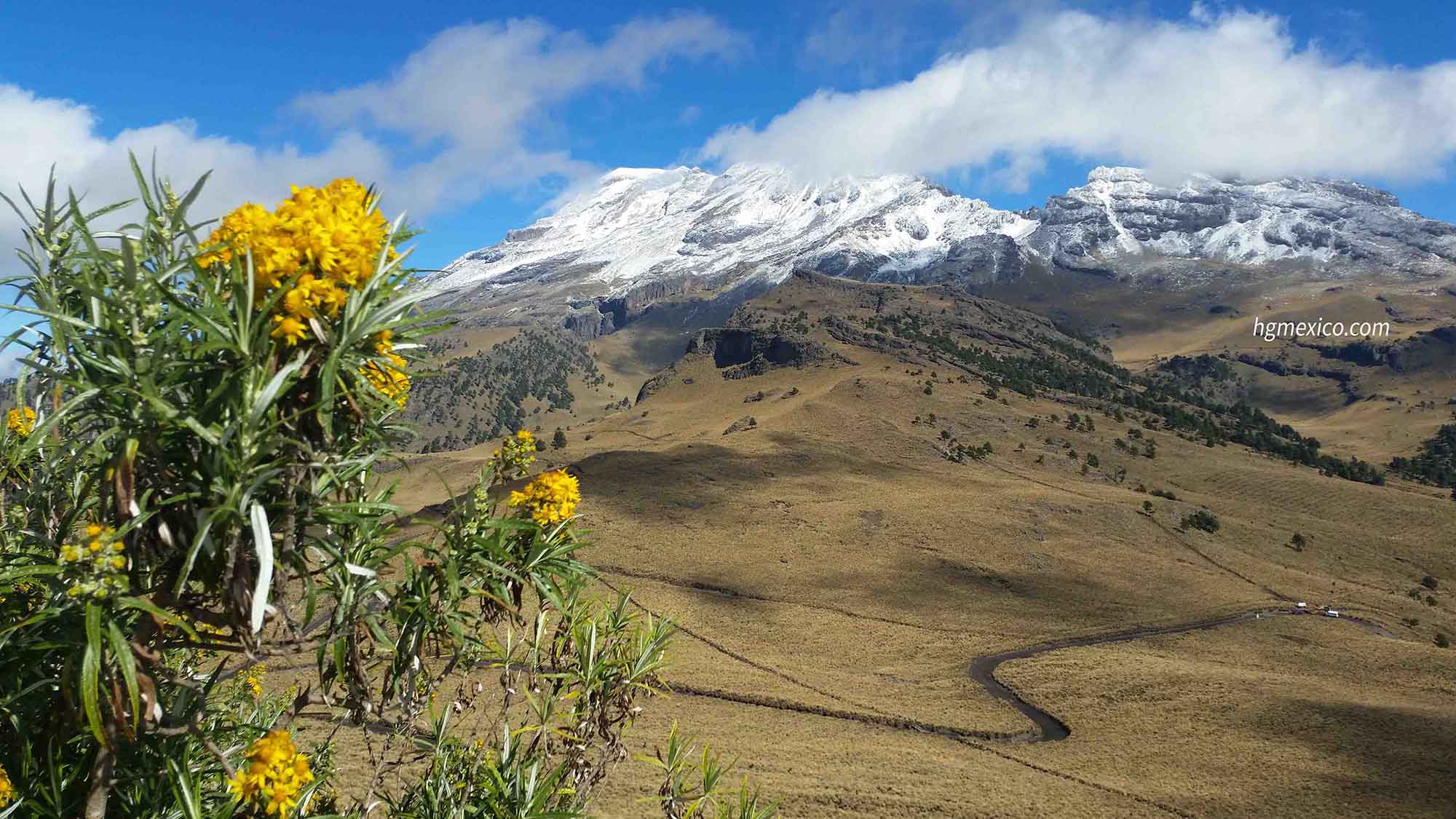
Transfer to Paso de Cortez (between in Popocatepetl and Iztaccihuatl) by car.
Overnight camp
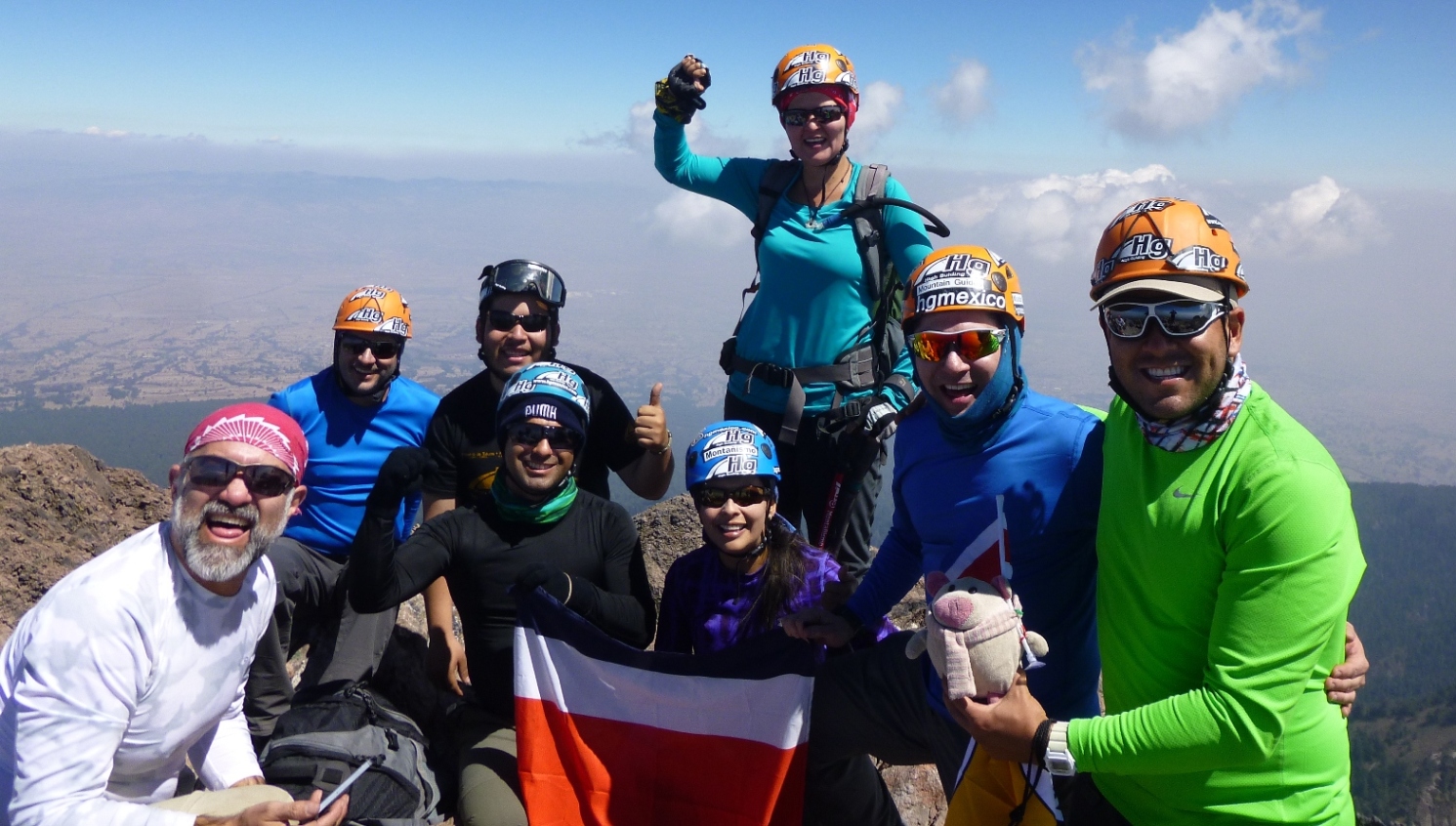
7 Day
Ascender in Iztaccihuatl to First Summit "las Rodillas" (5050) if you feel Good the Principal summit el "Pecho" (5254m)Transfer to Cholula (2400m)
Overnight Cholula Hostal

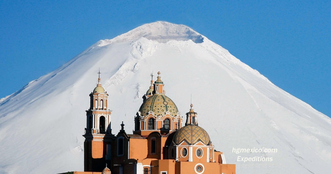
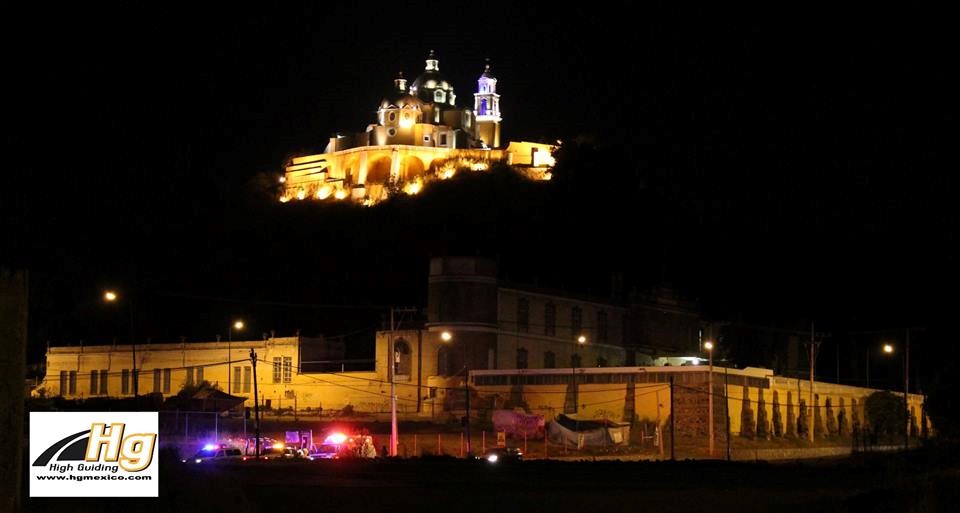
8 Day
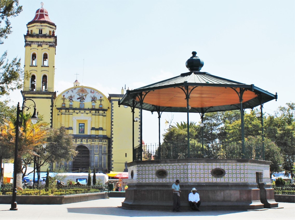
Free day in Cholula typical town (with pyramids and churches)
Overnight Cholula landhotel
9 Day
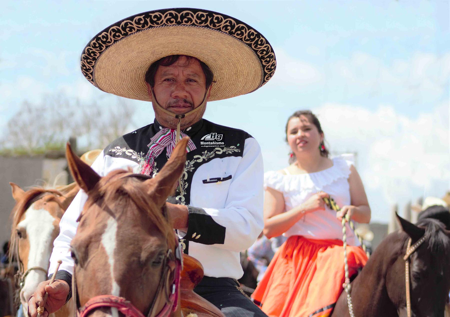
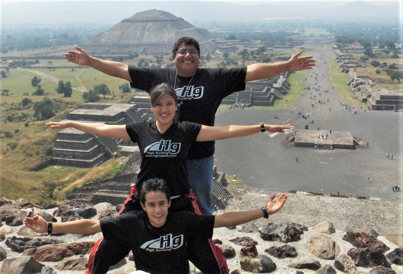
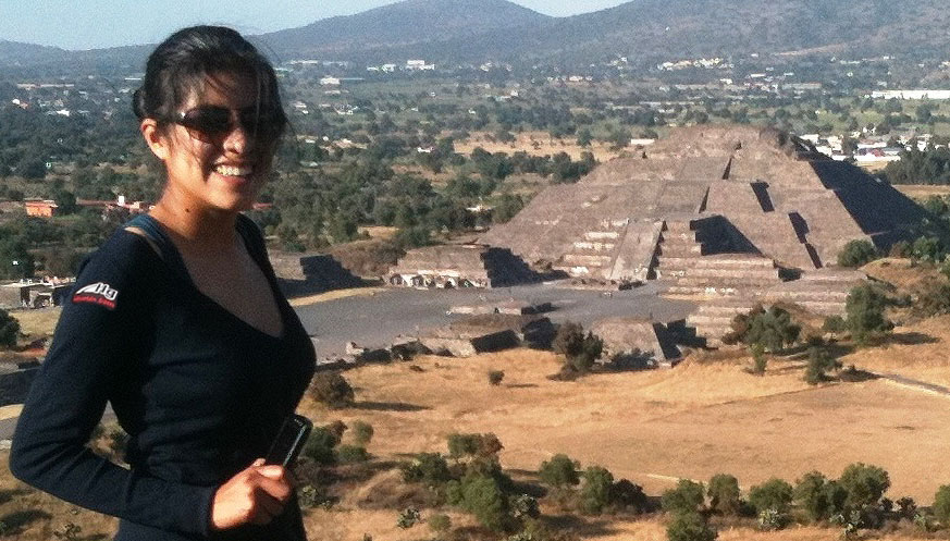
Visit Teotihuacan pyramids Transfer to Mexico city
Overnight Hotel in Mexico City
10 Day
Pyramid of Tepozteco , warm place
Overnight Hotel in Mexico City
11 Day
Transfer to Ciudad Serdan
Overnight Land hotel
12 Day
Transfer by 4x4 at base camp
Overnight Camp
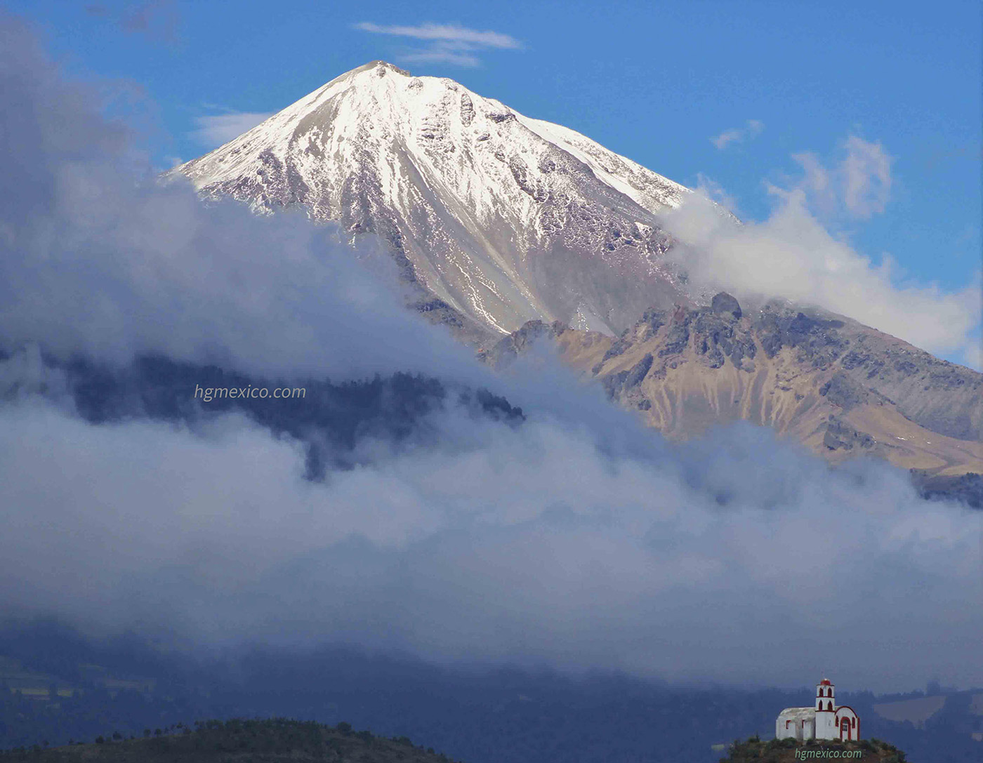
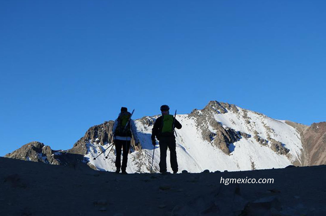
13 Day
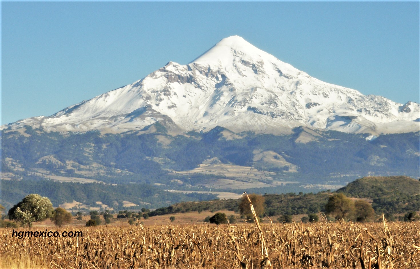
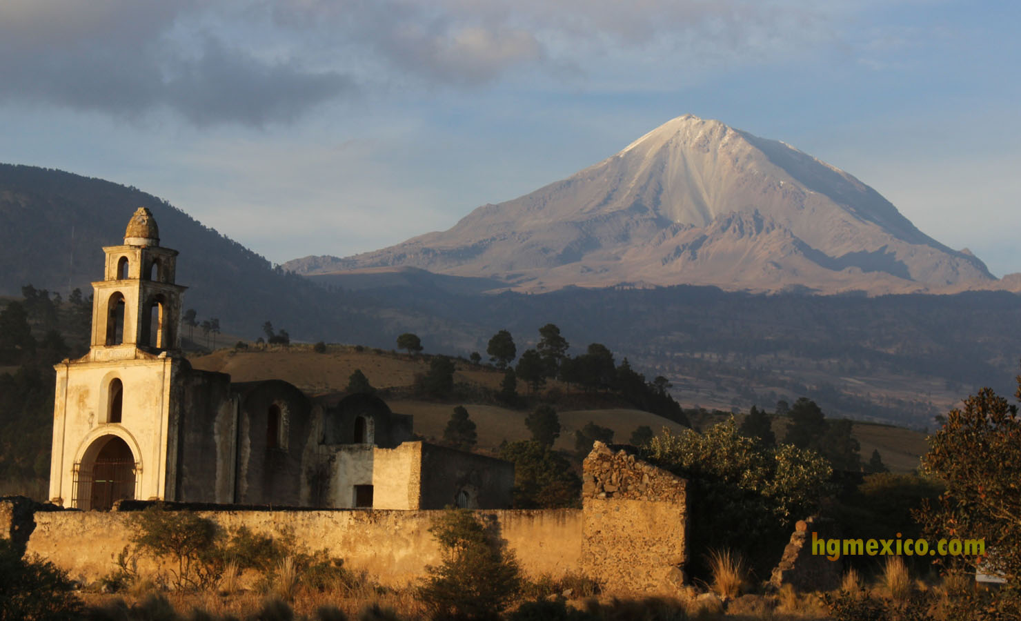
Summit day in Pico de Orizaba (5754m) transfer to Serdan
Overnight Landhotel
clic on the picture for watch the video
14 Day
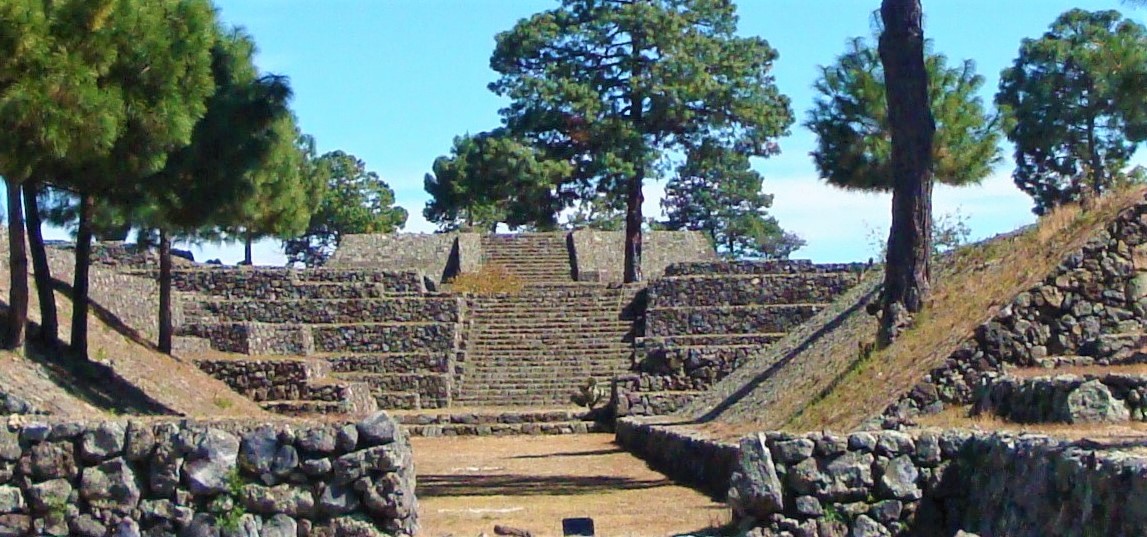
Visit Cantona Pyramids
Overnight Hotel in Mexico City
15 Day
Mexico City End service

Included in this itinerary are the following:
-
Transportation from the airport or hotel to the mountain and back, including the 4x4 travel at Pico de Orizaba
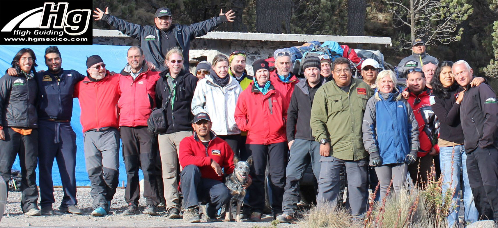
A personal, well-trained and experienced mountain guide
Collective safety gear: ropes, carabiners, tends, etc.
- See “Mountain Equipment” section for the personal gear you’ll need
- Base camp lodging. Purified water to fill your water bottles All cooking equipment: stoves, dishes and accessories Overnights at the itinerary in double room Entrance at arqueological places at the itinerary
Pricing
When you contact us about your expedition please let us know which option you prefer
Without Meals:
In this option, which we highly recommend, you bring your food or we can shop on our way to the mountain (we have supermarkets like WalMart here). This way you can eat what you like and is best for you.
.
Cost For the 2019-2020 Season:
Cost each one Euro people 4 Mountains 15 days more than 7 1190 5 - 6 1245 3-4 1290 2 1365 1 1800
Four mountains 15 days without meals Cost Each one American dollars People 4 Mountains 15 days more than 7 1390 5 - 6 1440 3 - 4 1490 2 1590 1 1990
phone with whatsapp +52 1 55
Contact us :
+52 55 64413823


oamexico@hotmail.com
Climbing el Pico de Orizaba
Choices for climb el Pico de Orizaba
The good choice for climb el Pico de Orizaba with acclimatization is
- THE TRILOGY
- IZTACCIHUATL - PICO DE ORIZABA
- In another hand if you have a good acclimatization
- PICO DE ORIZABA in 2 or 3 DAYS
- If you have more time and want know good places
- PICO DE ORIZABA (four mountains in 10 days)
- PICO DE ORIZABA (four mountain in 12 days)
- PICO DE ORIZABA (4 mountain in 15 days)