|
Pico de Orizaba (Citlaltepetl)
With an altitude of 5636 m (18871 ft.,) the highest Mexican mountain with an estimated altitude of 5685 meters above sea level , there is some debate regarding its height. quotes 5610 meter as a revised value. A significantly higher 5740 m is also frequently quoted.
GPS altitude on Pico de Orizaba summit
Climbing Information clic here
Season:
Season to climb Pico de Orizaba (Citlaltepetl) The Pico de Orizaba in Mexico can be climbed, usually all year round because Mexico has no monsoon Dry season: in the months of October to May - June, winter is from January to March, The season of most visitors to Pico de Orizaba is from February to June
Pico de Orizaba It is the highest inactive volcano in Mexico. Situated between the states of Puebla and Veracruz, it is cone-shaped and has a crater with a depth of 300 m and a width or 400 m.
Is located in the boundary between the states of Puebla and Veracruz, 106 km West of the Gulf of Mexico. The second prominent feature within the park is a 4600 meter volcano named Tliltepetl, or Volcan Sierra Negra, whose crater is at slightly less than 7 km distance of the Citlaltepetl crater. The young Citlaltepetl and the old Tliltepetl nowadays constitute a joint geological structure. __________ El Pico de Orizaba mountain guides Hiking Choices PICO DE ORIZABA & IZTACCIHUATL
- Pico de Orizaba- Iztaccihuatl - Malinche
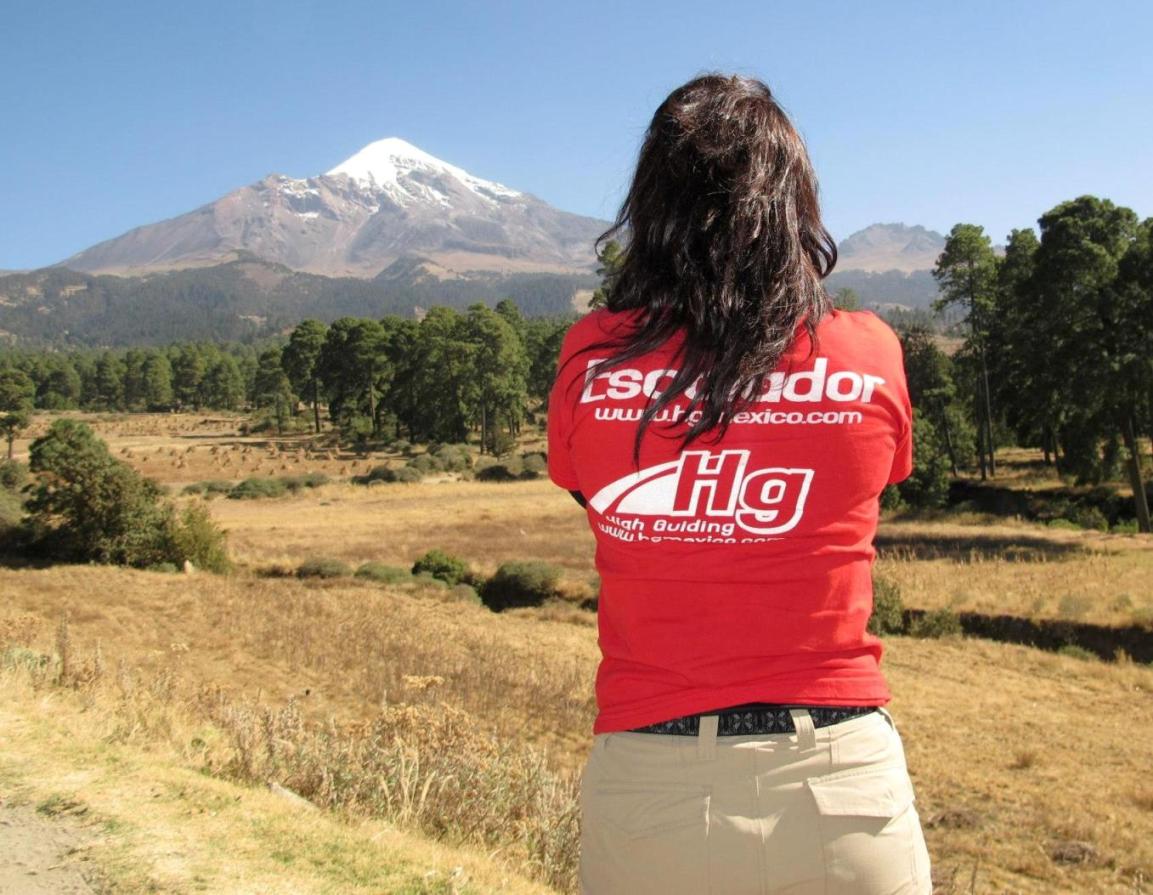
Climbers with Hg Mexico Mountain Guides
|
from the south face of the Pico de Orizaba , on the left "la Sierra Negra" (the black sierra), if you come from Oaxaca city you can see this side.

On 15 years old the girls begin the new life "Goyita´s day" behind Pico de Orizaba (picture from Tlachichuca)
Pico de Orizaba by the way in "San Nicolas de los buenos Aires" we see the cactus "maguey" the people made a licor call "Pulque"
Towns in Pico de Orizaba .
this is the east side of Pico de Orizaba, from here you can see in the middle of a mountain like shape of the face, call him "the face of the dead" or in spanish "la cara del Muerto", not many people climb from this way.
this is the North Face of Pico de Orizaba, you can see the glacier named "Jamapa" Here begins the Rio Jamapa that reaches the Gulf of Mexico and gives life to the people down the mountain
Pico de orizaba on the picture Hilarion Vidales with Guillermo (Huracan) founder of Hgmexico.com mountain guides and expeditions in Mexico
summit of the volcano Pico de Orizaba, William Vidales (Mountain Guide), Javier from Spain, at the summit of Pico de Orizaba, sometimes the summit is snow-free
|
Writte us
climbing with Hg Mexico the best mountain guides for Climb el Pico de Orizaba , Iztaccihuatl (Ixtaccihuatl), Malinche, Nevado de Toluca, all for your expedition all year around trips and interesting places like Teotihuacan, Cantona, Cholula , Puebla and more.
|


 cci
cci